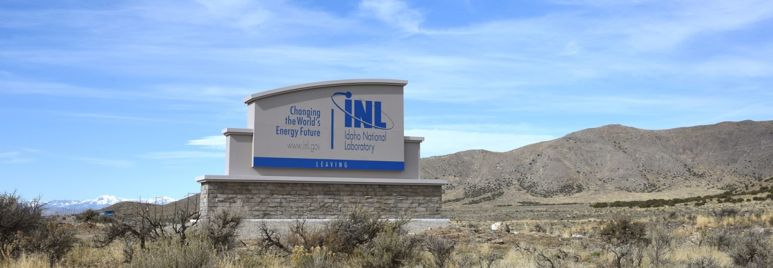
The Idaho National Laboratory desert Site entrance signs on U.S. Highway 20 recently got a makeover.
At both ends of the Site on U.S. 20 approaching from Idaho Falls and Arco, Facilities & Site Services erected large monument signs on concrete bases with rock faces at the bottom. Not only do the entrance signs help demarcate federal property boundaries, they serve as an important branding and advertising tool.
INL Director Mark Peters was a driving force behind replacing the varying and inconsistent previous signage.
“When presented with options to describe INL on the signs, I chose ‘Changing the World’s Energy Future,’ because we want everyone to be aware of our regional, national and international impact on energy security,” Peters said. “Virtually every nuclear reactor design in the world has been based on INL research and development, including those for submarines and aircraft carriers. It is imperative – for our economy, national security and to ensure safe and environmentally friendly energy systems around the globe – that INL continues to help our country lead the world.”
Debby Tate, Campus Development Office (CDO) director, said, “The new signs provide a sense of maturation and elegance to INL.” Remaining boundary, or “billboard,” signs on roadways at other Site entrances are scheduled for replacement in the coming months. The new signs, which had been in the planning stage for several years until funds became available, were designed by INL’s very own David Combs, INL art director and branding specialist, and constructed by YESCO Sign & Lighting Service of Idaho Falls.
“The vision for the monument signs was to create markers that not only showed the geographic boundaries, but that had significant impact and the gravity appropriate for an institution like our national laboratory,” Combs said.
INL first developed a system for standardizing signage throughout its campuses in the early 2000s. Over the years, these standards were updated to reflect changes in laboratory purpose, branding, and engineering code requirements. Today, these sign standards continue to be recognized as an essential component of facility planning, design and branding for the laboratory. They are an important part of INL’s campus master plan to implement standard “wayfinding” as a way to enhance a sense of place, so wherever you find yourself on the wide geographic expanse that encompasses INL, you know you are at Idaho National Laboratory.
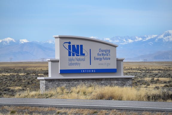
The remote high-mountain desert area, which first provided the U.S. Navy with a location to proof fire World War II Pacific Fleet guns in 1943, is now home to 378 buildings and structures on 889 square miles traversed by 200 miles of primary roads, including U.S. highways 20 and 26, and state highways 33 and 28 in the heart of southeast Idaho.
A far cry from 1943, the lab hosted 13,200 visitors and 4,700 tours this year to the Site, in addition to being highly visible to the thousands of tourists who traverse the area on the way to Yellowstone and Jackson Hole. Creating recognizable Site and campus entrance signage provides a main visual focal point for INL and the surrounding communities, and a transition point from the local setting to an environment of higher purpose. INL is also the only national laboratory with a federal highway running through it.
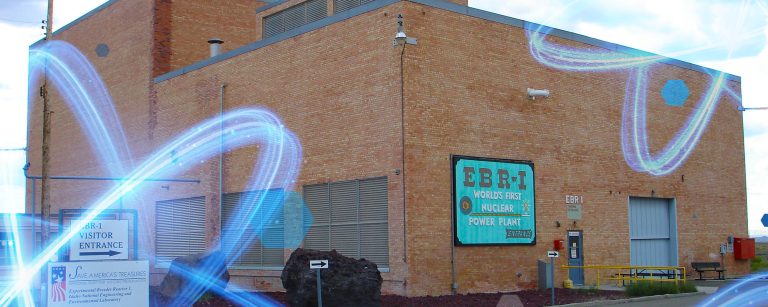
In 1949, the Atomic Energy Commission selected the area that encompassed the old Naval Proving Ground and surrounding lands to build the National Reactor Testing Station (NRTS), whose mission was to develop and demonstrate peaceful uses of nuclear power. The name of the facility changed over the years: in 1974, it was named the Idaho National Engineering Laboratory (INEL) to encompass broader research missions; in 1997, it became the Idaho National Engineering and Environmental Laboratory (INEEL) to reflect growing cleanup and waste management missions and research; in 2005, the INEEL became Idaho National Laboratory, which is under the DOE Office of Nuclear Energy. As names such as these have changed, INL entrance signs have reflected those changes over the decades.


