Irrigation Systems Reimagined
A new decision support tool
Irrigation Systems Reimagined
Thousands of miles of canals and pipe networks crisscross the United States, delivering water to an estimated 58 million acres of irrigated farmland.
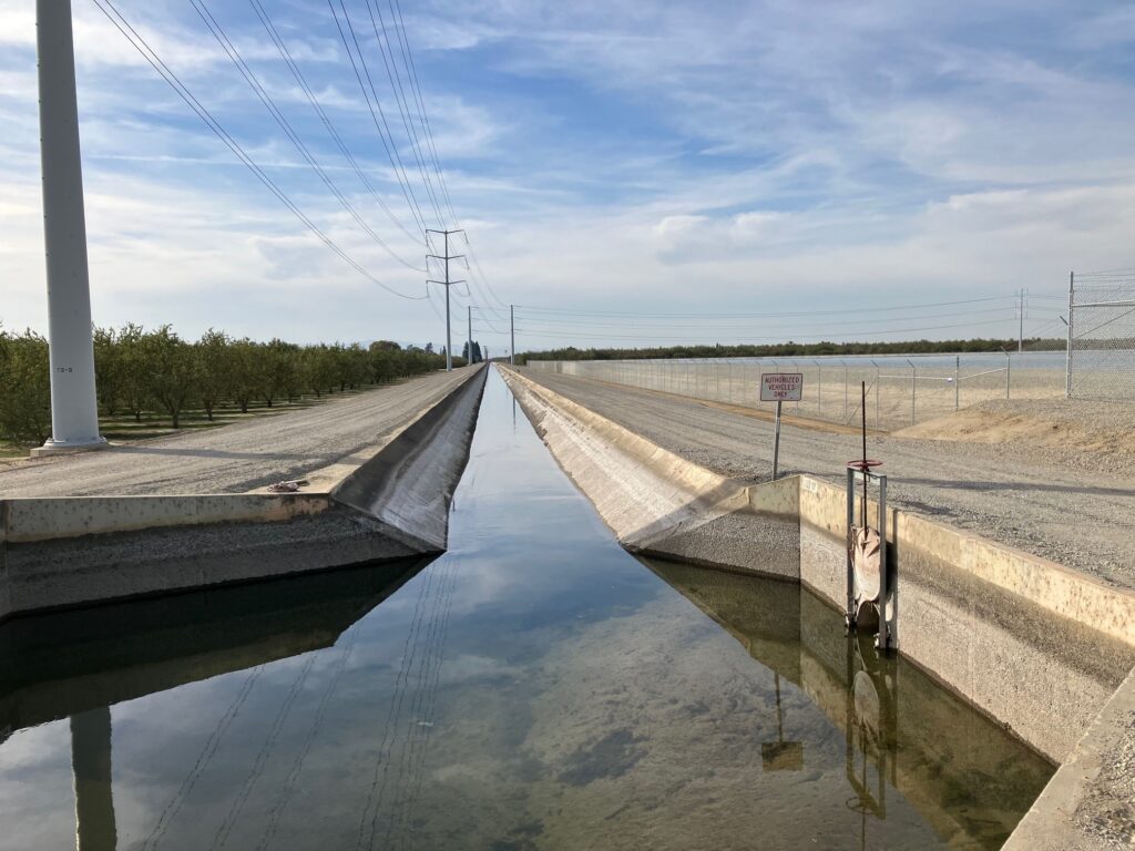
Many canals in the U.S., like the Great Western Canal, built near Idaho Falls around 1894, are over a century old. Many of these older canals need significant and costly annual maintenance to remain in service. Without it, open canals lose an average of 15–30% of water to seepage or evaporation.
Modernizing irrigation infrastructure can achieve a variety of benefits, including water conservation, energy savings and/or generation, environmental restoration and rural and agricultural resilience.
To support modernization efforts, researchers at INL and Pacific Northwest National Laboratory (PNNL) developed IrrigationViz. They gathered insights from stakeholders, including farmers, canal companies, irrigation districts, manufacturers, municipalities, utilities, governments and non-governmental organizations to ensure the program is useful and user-friendly.
INL is seeking irrigation districts and water users interested in modernizing their irrigation systems with IrrigationViz.

What are Canals?
Canals are human-made waterways, engineered to transport water or allow boats and ships to pass from one body of water to another. They can have reservoirs, dams and/or locks that can control the rate and amount of water flow.
Irrigation canals are a network of smaller canals called major and minor distributaries that branch off from the main canal. The main canal is fed by a river or lake, and the entire structure is built with as many straight lines as possible to maximize flow. The oldest known irrigation canals were built in Mesopotamia (now Iraq) approximately 6000 years ago.
Canals enable the development and farming of previously un-irrigated land, as well as reducing the effects of drought. They can also produce hydroelectricity and reduce flooding.
Proper canal design allows water to travel at a steady rate without needing pumps or complex machinery. Regular maintenance is necessary to remove the silt, sediment and buildup that impedes flow and reduces a canal’s efficiency.
IrrigationViz

IrrigationViz helps districts plan and develop canals, and its user-friendly interface makes comparing projects simple. It’s part of a larger project to reduce or eliminate risks associated with modernization of irrigation systems and incorporates additional benefits, including energy projects.
Water delivery organizations can use IrrigationViz, which utilizes public and local data, to conceptualize projects and obtain access to federal funding programs.
IrrigationViz can produce power estimates for incorporating hydropower, solar and floating solar technologies. It can also aid in comparing piping and lining projects for water conservation and increased efficiency. The visualization capability of the tool allows irrigation districts to re-imagine how a district could be designed.
Districts can use IrrigationViz to get information about their current infrastructure, water-flows, operations and maintenance costs and “what-if” upgrades that reflect cost and water saving potential.
Contact [email protected] to use IrrigationViz or learn more.

