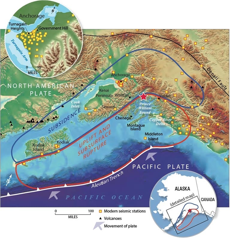
The second most powerful earthquake in recorded history delivered seismic havoc in the form of tsunamis, ground uplifts and landslides. The devastation included 139 people dead and $2.9 billion of damage in today’s U.S. dollars.
Magnitude
0
Second most powerful earthquake in recorded history.
Miles
Length of the fault line that ruptured between the Pacific and North American plates.
Two tectonic plates beneath Alaska’s Prince William Sound succumbed to 500 years of mounting pressure.
Over the course of 4 minutes and 38 seconds the 600-mile fault line between the Pacific and North American plates subducted, shifting 60 vertical feet.
A Port Built on Borrowed Time?
The new Port of Anchorage, now called the Don Young Port of Alaska, was among the only ports in south central Alaska to survive the 9.2 magnitude event.
The port emerged as Alaska’s primary supply chain artery. It is a designated U.S. Commercial Strategic Seaport, providing goods to 90% of the state’s population and four major military installations. It is also the primary node for distributing jet fuel to the nearby Ted Stevens Anchorage International Airport, one of the busiest cargo hubs in the world.
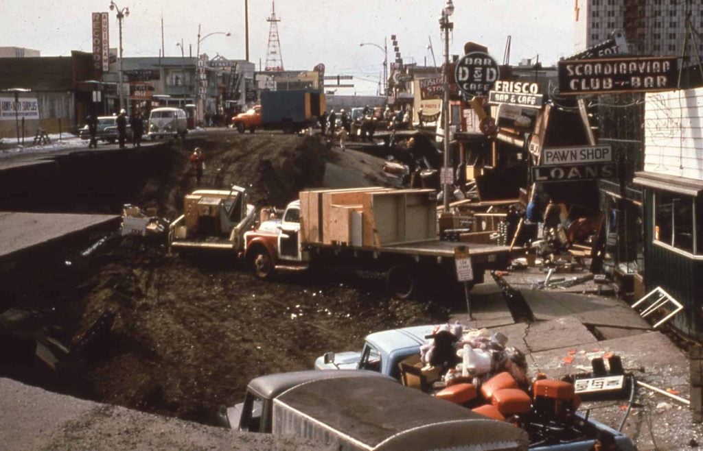
Landslide damage along Fourth Avenue in Anchorage, March 1964. Photograph: USGS Alaska Technical Data Unit #SF-GP-00-0107.
That reliance on a single port is a vulnerability. With Arctic sea ice retreating and shipping traffic rising, managing transportation in Alaska’s ports is a huge challenge.
Maritime Domain Awareness Tool
M-DAT
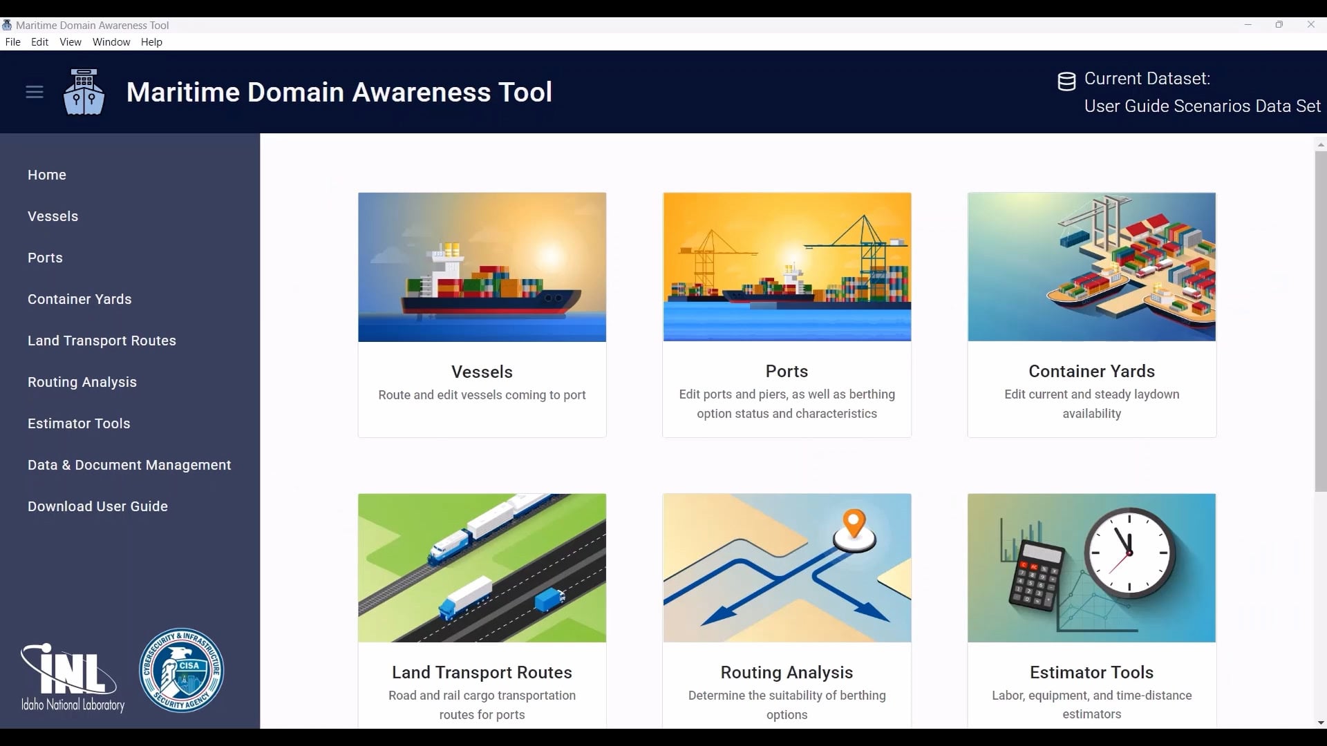
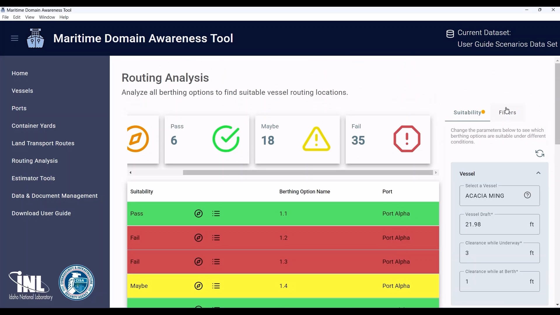
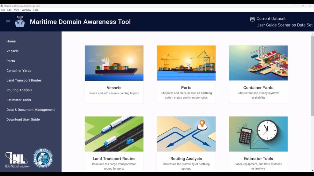
One solution is the Maritime Domain Awareness Tool (M-DAT). Built at the Idaho National Laboratory (INL) for the Department of Homeland Security’s Cybersecurity and Infrastructure Security Agency (CISA), M-DAT enables rapid decision-making during maritime transportation emergencies. The tool is being customized to benefit state and local partners in Alaska to support critical infrastructure resilience in the state’s austere conditions.
A Maritime Environment That Won't Sit Still
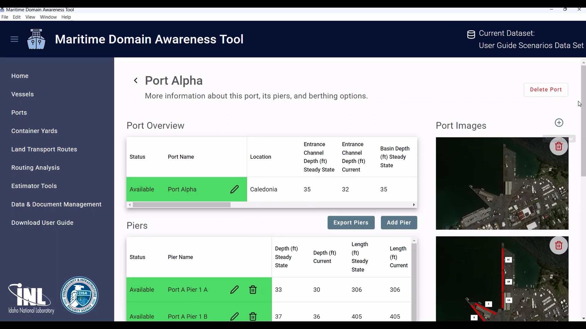
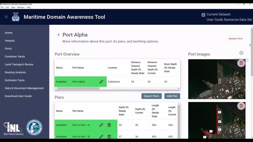
Originally developed for Hawaii, M-DAT compiles hundreds of data points on port infrastructure, vessel capabilities, channel depths, cargo‑yard capacity and land connections such as pipelines, roads, bridges, and railroads.
Instead of tracking where ships are, a technology that already exists, M‑DAT evaluates whether they can actually get to where they need to go.
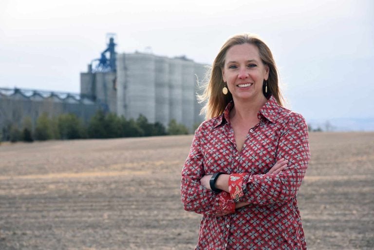
“Ports are constantly changing,” said INL critical infrastructure security analyst Kelly Wilson, who designed the software with developer Rachel Reichenberger. “These changes, often extreme and rapid, shape how and when cargo can move.”
Silt
As much as 4 feet of silt can accumulate in a single season.
Tides
A 40-foot swing in half a day can limit the time available for transferring cargo.
Storms
A severe storm can alter the underwater environment overnight.
ICE
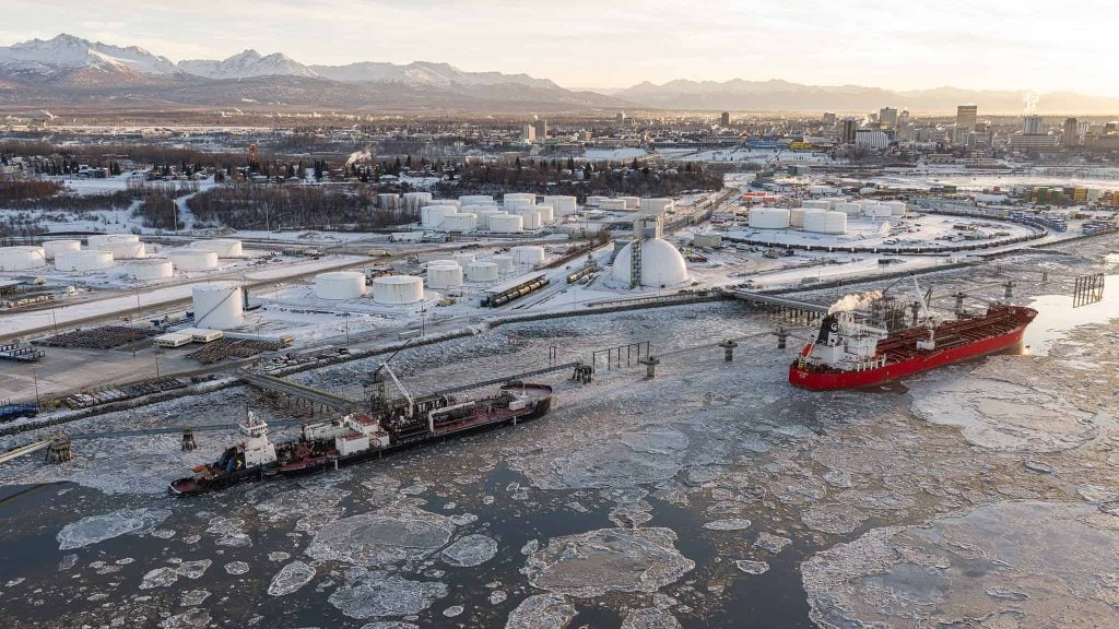
Freeze-ups from November to April can create ice floes that block channels or damage infrastructure.
Time-lapse video of tides at the Port of Alaska.
Video: Port of Alaska / YouTube.
No Room for Detours
Alaska’s geography limits backup options: many coastal communities are like islands, reachable only by air or sea. One blocked road can force 19‑hour detours.
The Port of Alaska serves deep-water vessels operating year-round from the Port of Tacoma. Domestic and foreign carriers provide routine bulk deliveries of petroleum products, cement, building materials and other commodities.
Alaska's Growing Strategic Weight
Melting sea ice and pressure on global trade choke points are pushing cargo ships toward alternative routes, driving Arctic shipping traffic to record levels. More traffic means more potential for the kind of crisis M-DAT is designed to handle.
That shift in traffic has coincided with a shift in military posture. In 2024, China’s coast guard entered the Arctic for the first time, in a joint patrol with Russia. Experts note that the most significant Russian and Chinese military activity isn’t near Greenland, as is often assumed, but off the Alaska coastline.
That proximity raises the stakes for a state whose infrastructure is already stretched thin. As shipping lanes open and adversary activity increases near Alaska’s shores, responding quickly to a maritime emergency is a national security priority.
Built for a Crisis
M‑DAT is designed for the moments when planning turns to crisis.
M-DAT operates offline on an air-gapped computer, meaning it remains functional during cyberattacks or network outages. These scenarios have already occurred at U.S. ports, including the Port of San Diego in 2016.
02
Prepared before communications fail
Emergency managers can preload the system with plans, maps and tactical documents so when communications fail, decision-makers still have access to the data they need.
03
Answers decision-makers need, fast
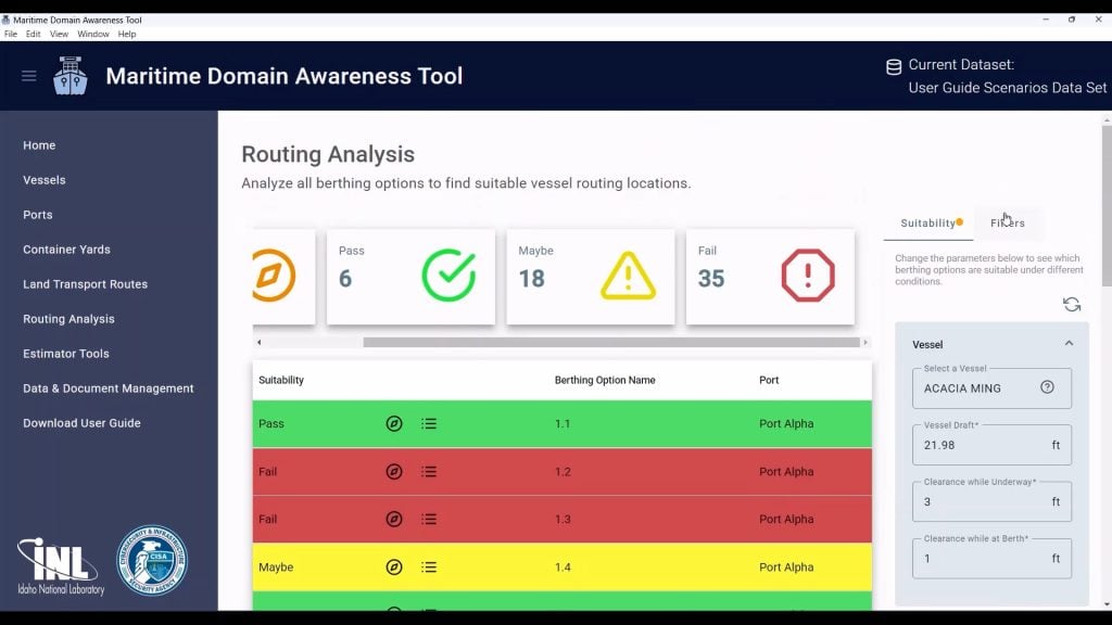
Instead of relying on whiteboards and phone calls to understaffed port authorities, M-DAT can generate answers in seconds:
Which vessel can berth where?
What cargo can be offloaded?
How long will that take?
Can downstream infrastructure — roads, bridges, staging yards — handle the flow?
04
Models cascading effects
The tool can also model cascading effects when a pier is damaged, a channel is blocked or a high-tide window is missed.
By digitizing centuries-old maritime decision-making, the INL team hopes to give federal, state and local officials a clearer view of their options.
Proven Beyond Alaska
In Guam and the Commonwealth of the Northern Mariana Islands, CISA and INL built out a version of M-DAT focused on a different kind of risk: isolated islands that could be cut off by a single disaster.
The project looked for ways territorial partners could offer each other mutual aid in an emergency.
May 24, 2023
Typhoon Mawar tore through Rota and Guam, damaging port infrastructure and other lifeline systems. The INL team folded lessons from Mawar into M-DAT.
Expanding to the Mainland
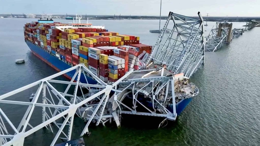
After the collapse of Baltimore’s Francis Scott Key Bridge exposed how a single point of failure could paralyze East Coast supply chains, INL compiled data for ports up and down the eastern seaboard to help with emergency response and shipping disruptions. That information can be folded into M-DAT, expanding its geographic reach.
The Francis Scott Key Bridge after its March 26, 2024, collapse, which blocked the main shipping channel to the Port of Baltimore. Photograph: National Transportation Safety Board.
Tons
0M+
Foreign cargo moved through the Port of Baltimore in 2023.
Per Day
$0M
Estimated economic cost to the Port of Baltimore during the disruption.
Days
From the bridge collapse until the full federal shipping channel reopened.
Alaska's Emergency Cargo Plans
Alongside a customized version of M-DAT, a full “Emergency Cargo Operations Playbook” will help federal and local officials support emergency cargo operations if a major maritime failure occurs in Alaska.
The Port of Alaska is among the infrastructure systems being mapped to identify interdependencies that could affect emergency cargo operations. Photograph: Matt Hage / Port of Alaska.
What Comes Next
“With deployments now spanning Hawaii, Guam, the Northern Mariana Islands, the East Coast and Alaska, we see each new region less as a one-off project and more a growing blueprint,” says Wilson.
“The same approach can flex to fit wildly different risks, from Pacific typhoons to Arctic ice.”
Kelly Wilson
INL Critical Infrastructure Security Analyst
Availability
The M-DAT tool is free for federal partners and can be licensed at no cost to state and local port authorities.
Battelle Energy Alliance manages INL for the U.S. Department of Energy’s Office of Nuclear Energy. INL is the nation’s center for nuclear energy research and development, and also performs research in each of DOE’s strategic goal areas: energy, national security, science and the environment. For more information, visit www.inl.gov.